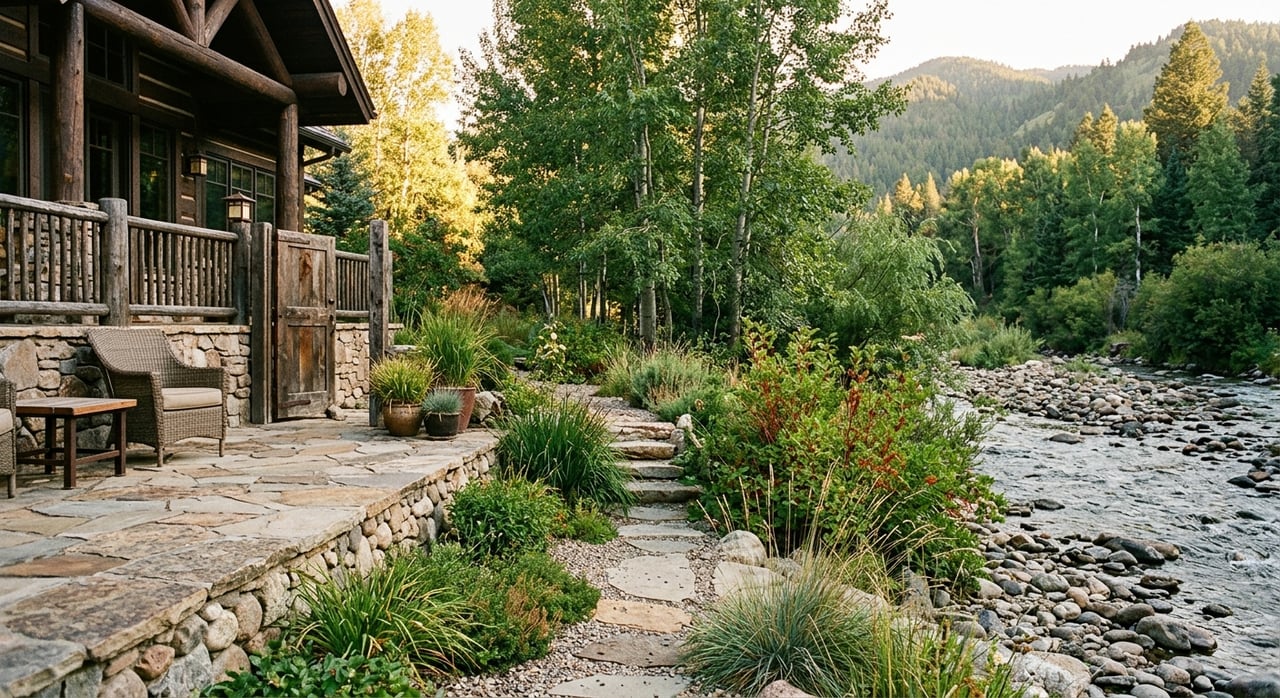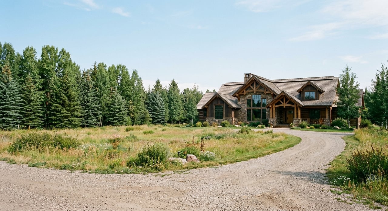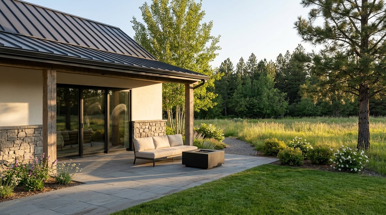
If you picture Bozeman living as stepping out your door and onto a trail, South Bozeman deserves a close look. This part of town stands out because trails, parks, and open space are woven into daily life, not tucked away for occasional use. Whether you are relocating, moving across town, or narrowing down where you want to buy, understanding how this area functions day to day can help you make a smarter decision. Let’s dive in.
Why South Bozeman Stands Out
South Bozeman is part of a much bigger recreation network than many buyers first realize. The Main Street to the Mountains system totals nearly 100 miles, linking downtown Bozeman south toward Triple Tree Trail and north toward the College M Trail.
That matters because access here is not just about weekend hiking. In practical terms, nearby trails can shape how you commute, walk the dog, fit in a run, or get outside for an hour without planning a full outing.
The city also supports that lifestyle with parks, open space, and trail maintenance. City parks are generally open daily from 5:00 a.m. to 11:00 p.m. unless otherwise posted, which adds to the usability of these spaces for early mornings, lunch breaks, and evenings.
Key Trail Corridors in South Bozeman
Gallagator Trail Access
The Gallagator Trail is one of the most useful everyday connectors on the south and central side of Bozeman. It runs through places like Sculpture Park, Bogert Pool, and Langhor Park, then connects farther south to trails below Kagy, Peets Hill, Lindley Park, and Highland Glen.
For many residents, this is more than a recreation trail. GVLT notes that people use it to commute to Montana State University and downtown, which makes it especially appealing if you want a more connected, less car-dependent routine.
Sourdough Trail Living
The Sourdough Trail is a favorite on the south side for good reason. It follows Bozeman Creek through tree cover and open fields, passes Graf Park, Gardner Park, and Tuckerman Park, and offers a 3.2-mile round-trip gravel path.
This corridor gives several south-side pockets a lived-in, trail-oriented feel. Instead of driving to a trailhead, you may be able to step into the greenway from within the neighborhood itself.
Bozeman Creek and Triple Tree
If your goal is quick access to bigger outdoor experiences, the Sourdough Canyon, also known as the Bozeman Creek Trail, and Triple Tree Trail are major draws. The Bozeman Creek Trail follows the creek and is used by runners, bikers, hikers, and Nordic skiers, with winter grooming at the trailhead.
Triple Tree adds another year-round option with routes from 1 to 5.4 miles. Together, these trails help explain why South Bozeman appeals to buyers who want city living with a fast transition to foothill and mountain terrain.
Hyalite Within Easy Reach
South Bozeman also offers relatively quick access to Hyalite Canyon. The Forest Service notes that the Lower Hyalite Group Site is nine miles south of Bozeman, and the Hyalite Day Use area is reached by traveling south on 19th Avenue for 7 miles to the paved canyon road.
That proximity broadens your options beyond neighborhood walks and short runs. Hiking, climbing, boating, fishing, and access to trails like West Shore Trail are all part of the larger outdoor picture here.
Parks and Open Space That Support Daily Life
Trails matter, but the feel of South Bozeman also comes from the smaller parks and open-space nodes that support everyday routines. These spaces help the area feel usable and connected, not just scenic on a map.
Southside Park, at Fifth Avenue and College Street, includes an ice rink, playground, tennis court, and year-round restrooms. That makes it a practical public space in every season, especially for residents who value nearby outdoor amenities they can use on a regular basis.
Tuckerman Park sits directly on the Sourdough Trail and has a meadow-and-streamside setting. Smaller nodes such as Graf Park and Westridge East Park also reinforce the feeling that green space is built into the neighborhood pattern.
The city describes a 3.3-mile loop at Tuckerman Park that starts at Goldenstein, runs north through Tuckerman to East Graf Street, then continues through Sundance Springs and McLeod Park before returning to Goldenstein. For buyers, that is a useful example of how neighborhood parks and trails work together in a practical, day-to-day way.
South Bozeman Pockets to Know
South Bozeman is best understood as a collection of pockets rather than one single formal neighborhood identity. That is helpful because your experience can vary quite a bit depending on which part of the south side you choose.
Fifth and College Area
Around Fifth and College, Southside Park anchors the area with year-round public space and winter recreation. This pocket can feel especially convenient if you want easy access to central Bozeman while still having outdoor space nearby.
Goldenstein and Sourdough Corridor
Around Goldenstein, Graf, Gardner, and Tuckerman, the Sourdough Trail runs directly through the neighborhood fabric. This section of South Bozeman often appeals to buyers who want direct access to creek-side paths, open fields, and connected park space.
The research also notes that this corridor serves as a safe commuting route for students to Sacajawea Middle School. That detail helps illustrate how the trail system supports daily movement, not only recreation.
South 19th, Kagy, and MSU Links
Around South 19th, Kagy, the Museum of the Rockies, and MSU, the Gallagator Trail offers a more urban and commute-friendly connection. If your routine includes campus access, downtown trips, or a preference for multi-use pathways with stronger in-town links, this area may stand out.
What Seasonality Means Here
One of the biggest practical considerations in South Bozeman is seasonality. Bozeman has a true four-season climate, and that directly affects how trails and open space are used throughout the year.
At the Bozeman Montana State University station, NOAA lists average January temperatures of 34.2 degrees for the high and 15.1 degrees for the low. July averages are 82.1 degrees for the high and 51.7 degrees for the low, and annual snowfall averages 91.3 inches.
That means winter is not a side note. It is a real part of how you should evaluate access, maintenance, gear needs, and your own routine if trail proximity is high on your wish list.
Winter Conditions
GVLT notes that the Gallagator, Sourdough, and Triple Tree trails can be icy in winter. The Gallagator can also be muddy in fall and spring, and Sourdough is often muddy in the shoulder seasons.
On the plus side, winter also opens up other forms of use. The Sourdough and Bozeman Creek trailhead is groomed for classic and skate skiing, and Southside Park’s ice rink adds another seasonal option nearby.
Spring and Shoulder Seasons
Spring in this area comes with tradeoffs. Trails can be muddy, and Hyalite Road is seasonally closed to motorized traffic from April 1 through May 15, which changes access patterns.
At the same time, that closure opens the canyon to walking, running, and biking during spring break-up. For some residents, that is a highlight of the season rather than a drawback.
Summer and Early Fall
Summer and early fall tend to bring longer outings and more variety. Trail running, biking, hiking, fishing, and trips deeper into Bozeman Creek or Hyalite all become easier to fold into your week.
Some access points can also connect you toward Mystic Lake and the broader Custer Gallatin trail system. If your version of home includes fast access to longer recreation days, this is a strong part of the South Bozeman story.
What Buyers Should Consider
Buying near trails and open space can be a major lifestyle win, but it helps to think through the practical side as well. South Bozeman works best when your home choice matches the way you actually plan to live.
Here are a few smart questions to keep in mind:
- How often do you want to walk or bike instead of drive?
- Would you use a neighborhood trail for commuting, exercise, or both?
- Are you comfortable with winter trail conditions like ice and packed snow?
- Do you want quick access to urban connectors, mountain trailheads, or a mix of both?
- Would a nearby park, rink, or greenway change your everyday routine in a meaningful way?
These are the kinds of tradeoffs that matter more than broad labels. In South Bozeman, a few blocks can make a big difference in how connected you feel to trails, parks, campus, downtown, or the road south to Hyalite.
Why This Area Continues to Matter
The planning context also points to continued civic interest in connected open space. The Bozeman Creek Vision Plan was adopted as a City Commission priority on August 6, 2024, with goals that include improving ecological health, connectivity, flood hazard mitigation, natural heritage, and access to parks and trails along urbanized sections of Bozeman Creek.
That does not guarantee a specific real estate outcome, but it does reinforce the broader importance of connected parks, trails, and creek corridors in this part of Bozeman. For buyers focused on lifestyle, that is meaningful context.
If you are weighing South Bozeman against other parts of town, the real question is simple: do you want your daily routine shaped by nearby paths, parks, creek corridors, and quick access to public land? If the answer is yes, South Bozeman is worth a serious look. When you want help comparing pockets, property types, and the practical tradeoffs that come with trail-connected living, Brad Ehrnman Real Estate is here to help.
FAQs
What makes South Bozeman different for trail access?
- South Bozeman connects into Bozeman’s broader Main Street to the Mountains network, with access to corridors like the Gallagator, Sourdough, Triple Tree, and Bozeman Creek trails that support both recreation and everyday movement.
Which South Bozeman trail is best for commuting?
- The Gallagator Trail is one of the most commute-friendly options because GVLT notes that many people use it to reach Montana State University and downtown Bozeman.
What parks support everyday life in South Bozeman?
- Southside Park, Tuckerman Park, Graf Park, Gardner Park, and Westridge East Park all contribute to the area’s day-to-day usability by pairing green space with trail access and neighborhood connections.
What should buyers know about South Bozeman winters?
- Winter is a significant season in Bozeman, with average annual snowfall of 91.3 inches, and several area trails can be icy, while some routes also support winter activities like Nordic skiing and skating.
Is Hyalite Canyon close to South Bozeman?
- Yes. The Forest Service says the Lower Hyalite Group Site is nine miles south of Bozeman, and the Hyalite Day Use area is reached by heading south on 19th Avenue for 7 miles to the paved canyon road.
How should you evaluate homes near South Bozeman trails?
- Focus on how you plan to use the access in real life, including commuting, dog walking, running, winter recreation, and how close you want to be to neighborhood parks versus larger mountain trail systems.